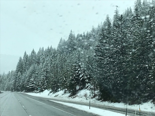
Lots of snow on the trees in the northern California mountains. On the roads, not so much.
We left Ventura and drove up the coast along California Highway 1 through Big Sur. Both the weather and the scenery were glorious. The road is pretty windy, with lots of high cliffs, so the drive was slow. Trying to get to our destination outside Santa Cruz before dark, we didn’t stop to to take photos.
The next day we visited family in San Martin and spent the night at a campground in Morgan Hill. Our plan had been to drive up the coast for the rest of the week, stopping to see family along the way. But with the virus danger, we decided to cut the trip short and head straight for Whidbey.
We drove as far as Redding the first day and camped just north of the city. It rained overnight, which meant snow in the mountains. The next morning we checked the Caltrans Web site, which said they would be checking vehicles to make sure they were carrying chains to travel north on I-5. We drove back into Redding, went to an auto-parts store, bought chains, and then headed back up I-5.
Just south of where we camped there was a huge back-up for the “chain check.” After about an hour, we reached the checkpoint and the cop just waved us through. No look in our vehicle to see if we had chains, not even a “do you have chains?” question.
 Once we were past the checkpoint, we sailed along, as there was no traffic. The road was clear, and we didn’t encounter anything more severe than a little snow and sleet mixed with rain, though the snow-covered trees were beautiful. I’m not sure what the point of the huge back-up was.
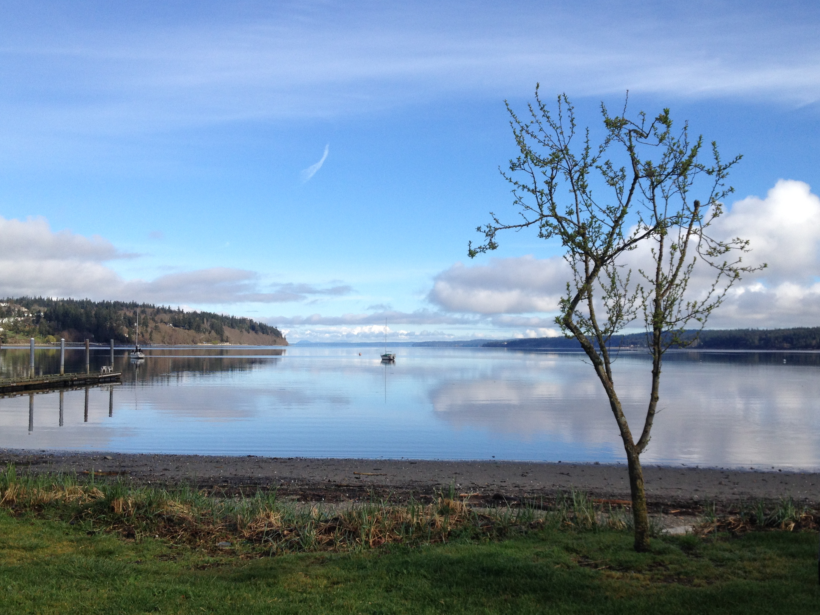
We spent a night at campground outside Eugene and drove on to the island. On a trip that had a fair amount of rain, our last day had great weather, with spectacular views of the mountains: Hood, St. Helens, Rainier, and Baker, plus the Cascades and Olympics.
We either fixed our own food or ate carryout, except for one dine-in lunch. We washed our hands a lot. We’ve been home for a week, safe and sound in our house, except for a couple of grocery-store trips and one trip to the post office.
Final trip statistics:
- Miles traveled: 4,208
- Average speed: 56 mph
- Days on the road: 17
- Actual driving time: 74 hours, 39 minutes
- License plates seen: 47 states (all except Rhode Island, North Dakota, and Hawaii), seven Canadian provinces (Alberta, British Columbia, Manitoba, Nova Scotia, Ontario, Quebec, and Saskatchewan), and two Mexican states (Chihuahua and Sonora)


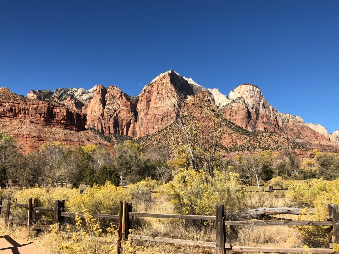
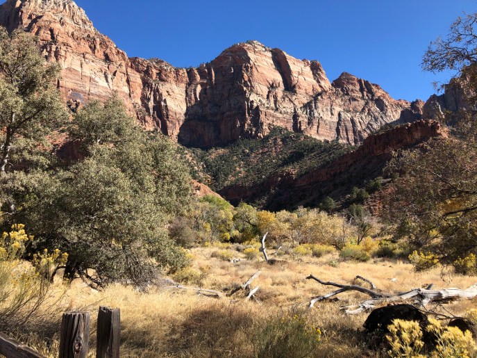
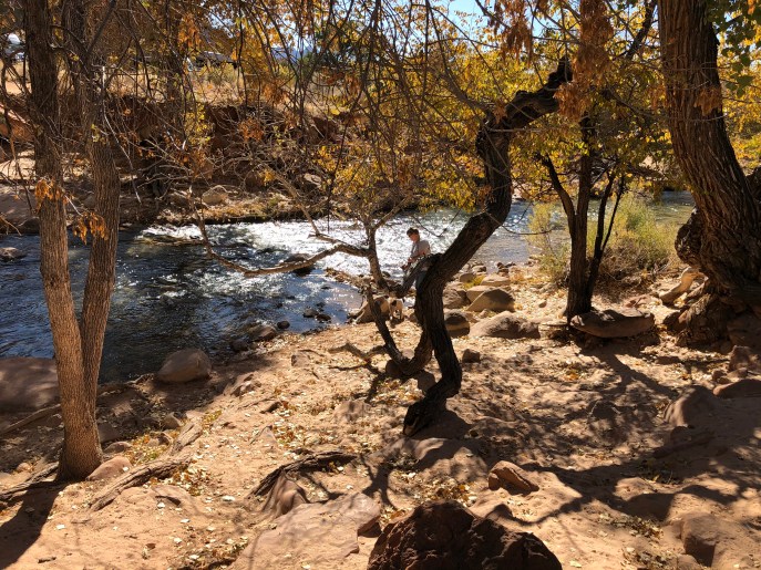
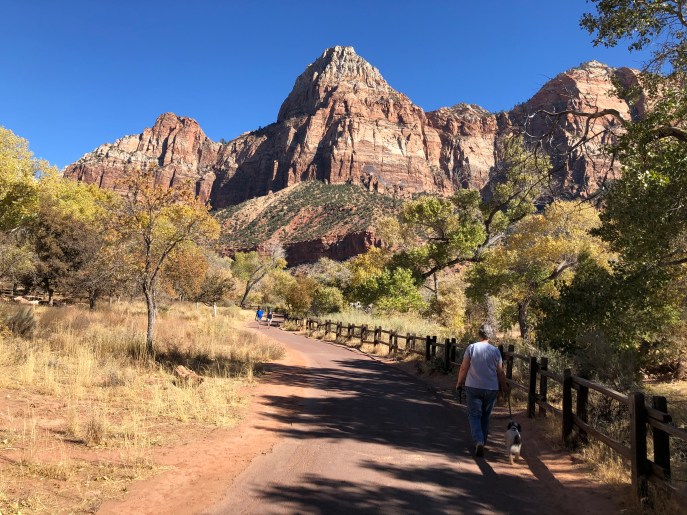
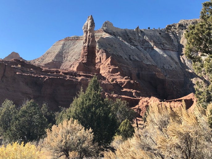
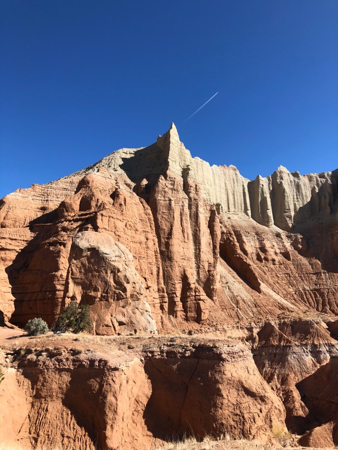
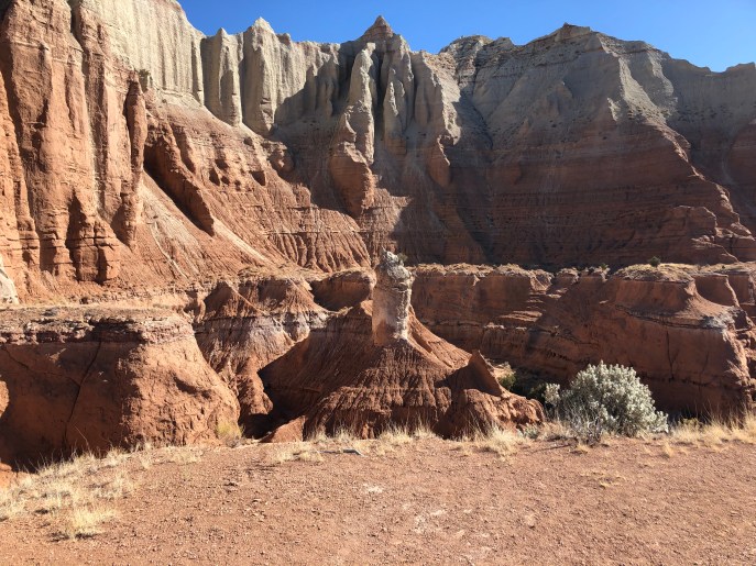
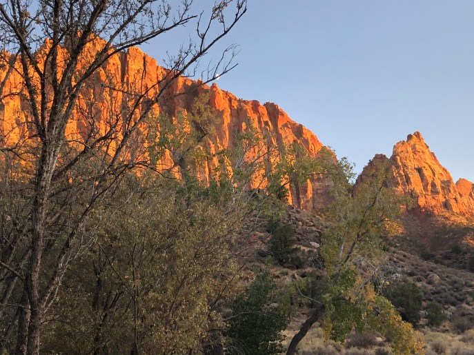 For the last part of our visit to southwestern Utah, we moved on to