 Our last adventure for this trip was a visit to Joshua Tree National Park. As at Big Bend, the campgrounds were all full, so we camped at the Salton Sea State Recreation Area southwest of the park.
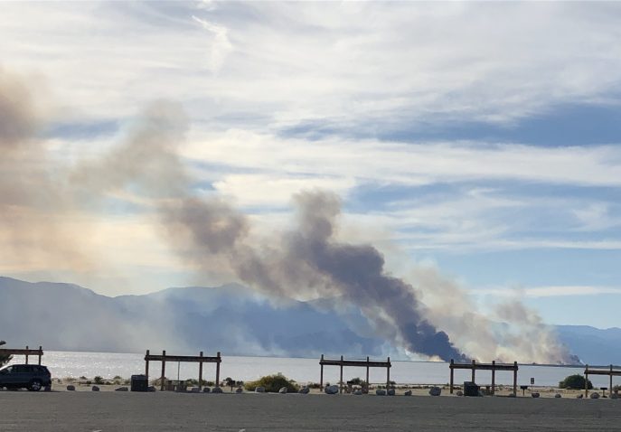
Smoke from a fire rising over the Salton Sea
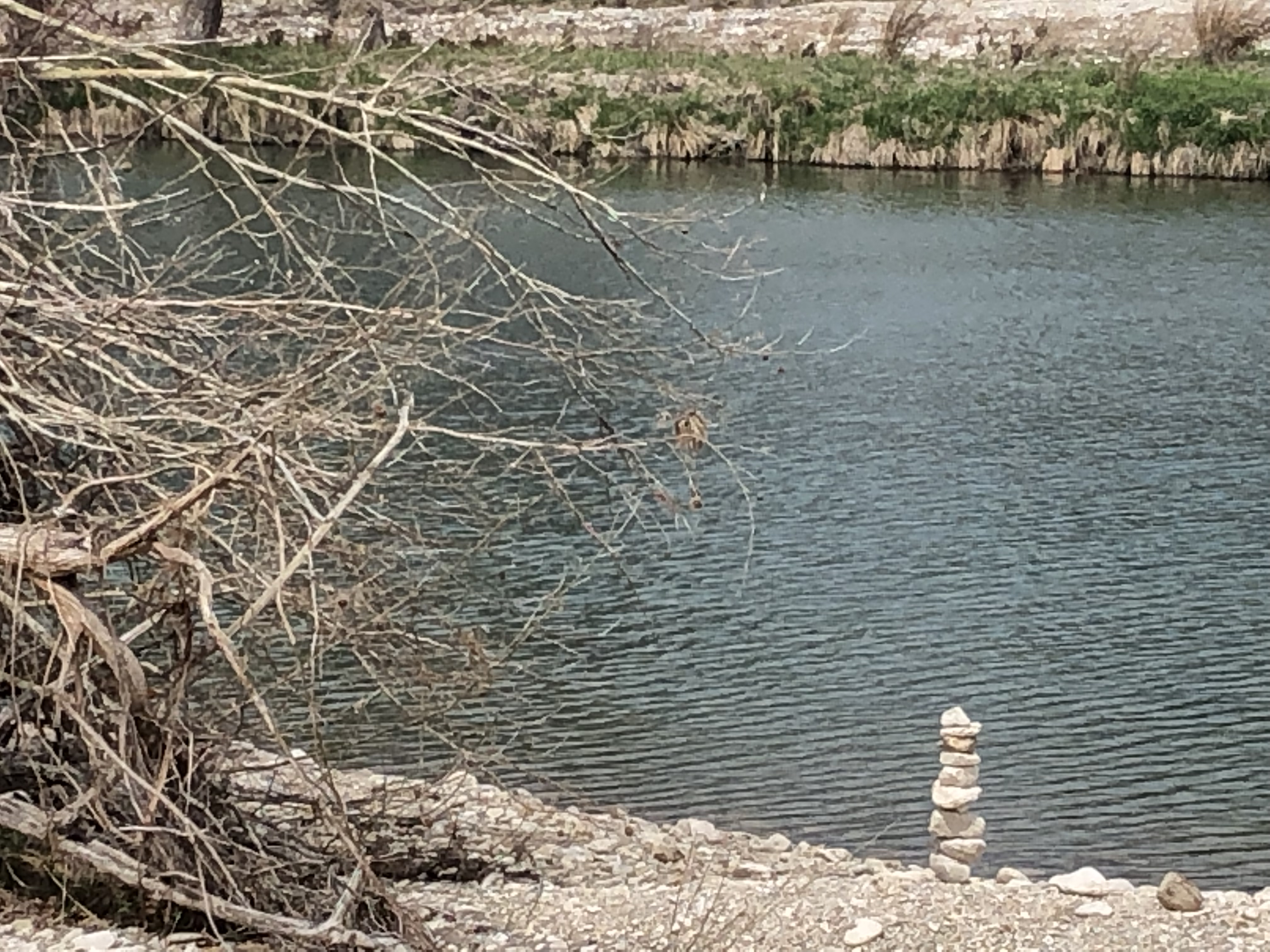
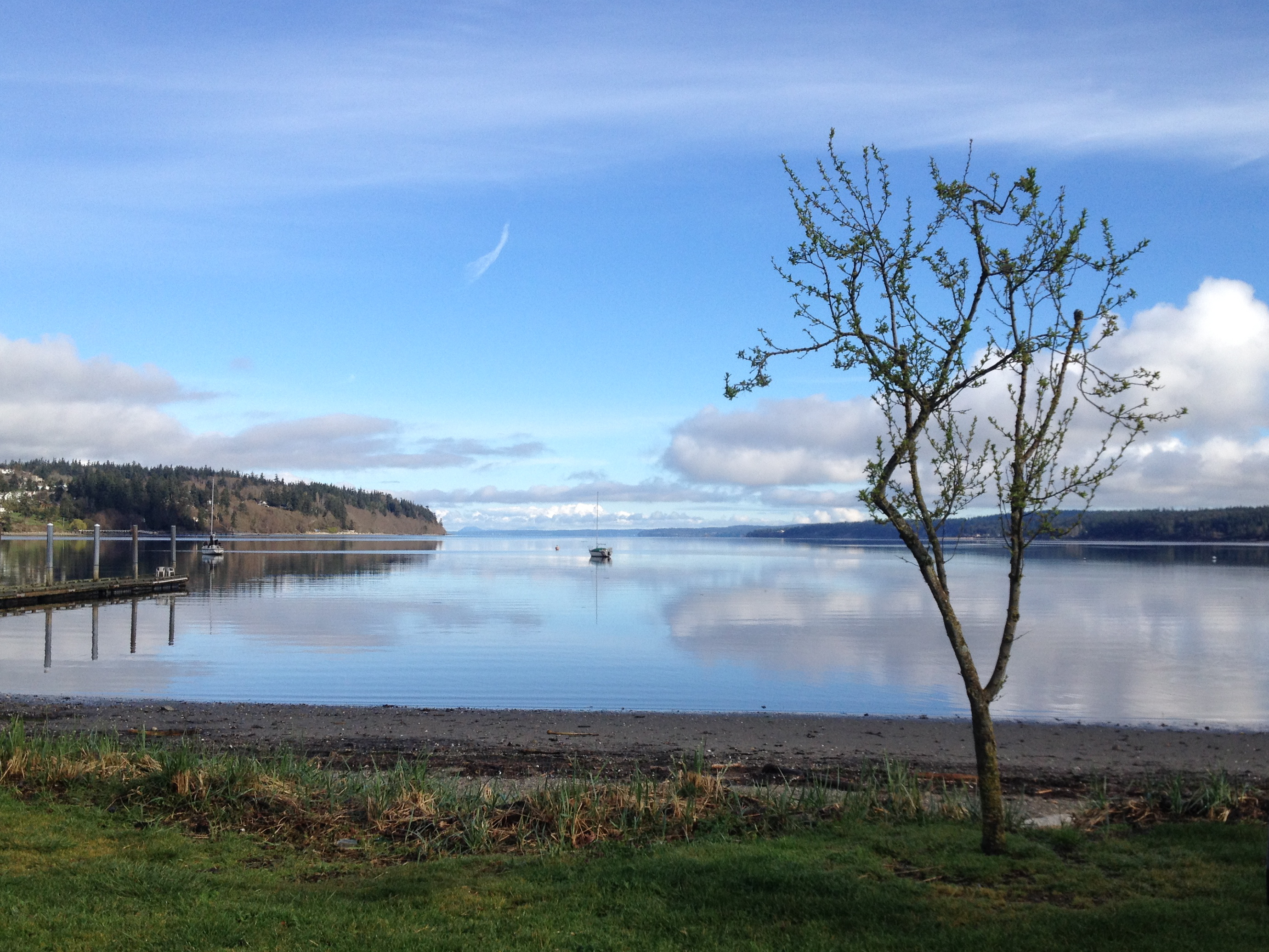
The Salton Sea was once a much larger body of water called Lake Cahuilla, but it shrank and is now 235 feet below sea level and about 50 percent saltier than the ocean. The rising salinity means fewer fish and birds, but it’s still a pretty place to camp.
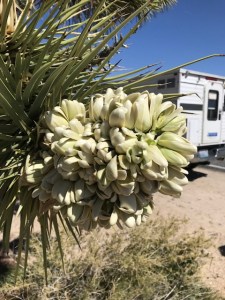
A Joshua tree flower, with our camper in the background
The next morning we headed back to the national park. The shortest and most scenic route is called Box Canyon Road, but it has been closed since October when floods did serious damage. So we took the long way round via Interstate 10.
After we exited I-10 and before we even entered the park, we saw dozens of cars stopped along the road and scores of people wandering through the fields of wildflowers. This was one of the best springs ever for wildflowers and the petal peepers were out in force. We also saw quite a few RVs boondocking.
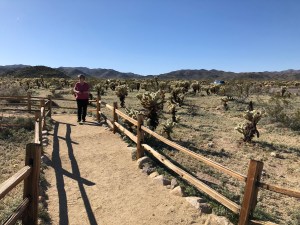
The park also has plenty of cholla. Here’s Robin in the Cholla Cactus Garden.
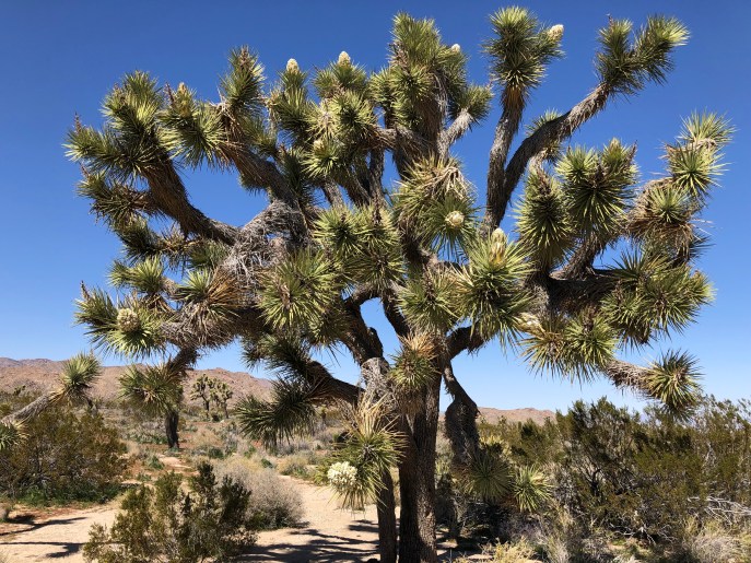
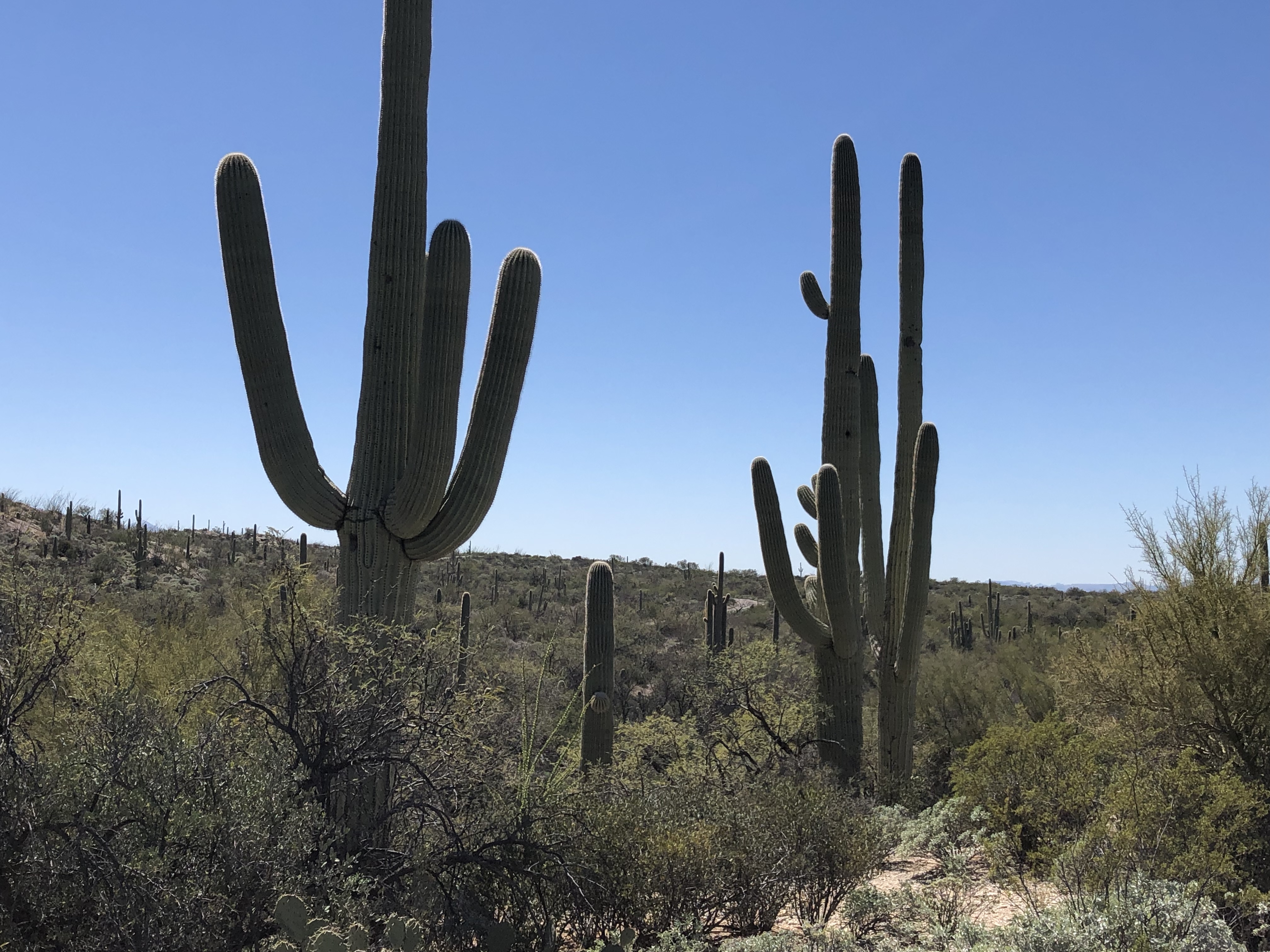
Once again our timing was off. It was Saturday, and the park was relatively crowded. Although we had read of damage to the trees during the Trump government shutdown, we didn’t see any evidence of it, and there were still plenty of the magnificent plants, which are really not trees but a species of yucca. The park is home to many other plants, numerous rock formations, and a wide variety of wildlife, from bighorn sheep to the kangaroo rat.

Part of the Jumbo Rocks formation
The granite formations look like they were piled up by some ancient giant, but they are actually the result of volcanic activity deep in the earth that forced them to the surface.
Although the park was crowded, one place was not: an overlook point called Keys View, perhaps because it’s very windy. We had a great view across the Coachella Valley and could even see a bit of the Salton Sea where we camped.
 We entered the park from the south, drove all the way through and out the north side, stopped for lunch in the Twenty-Nine Palms, and drove back through the park and then to our camp. On the way, we stopped for water at a roadside convenience store that was next door to something calling itself the International Banana Museum. It didn’t appeal to us, so we didn’t go in.
The next day we turned north toward home.

Sunset over the Salton Sea, with the fire still burning
 After we visited the Grosvenor Arch, we drove through another part of the Grand Staircase-Escalante National Monument along U.S. Highway 12, which is also known as the American Road Scenic Byway.


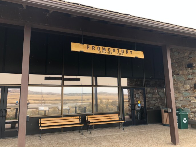 After two nights of camping, near Pendleton, Oregon, and Glenns Ferry, Idaho, we made our first tourist stop at the
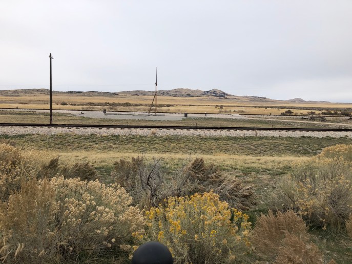
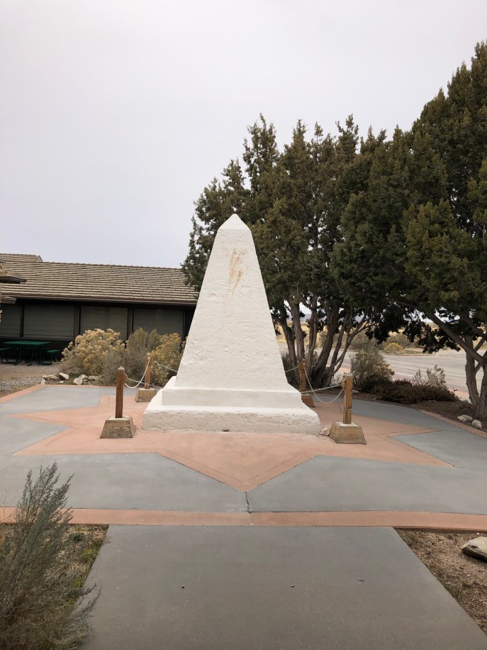 There is a pillar that was placed here in 1916 to commemorate the completion of the railroad. It has been restored and stands just outside the entrance to the visitors center.
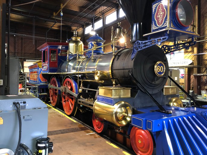
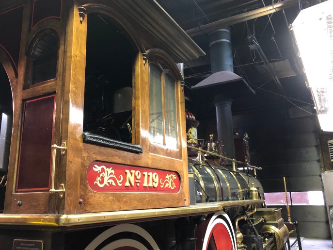 The coolest things might be the two steam locomotives, replicas of the two engines that met in 1869. The Jupiter (No. 60) represented the Central Pacific and No 119, the Union Pacific. The Jupiter burns wood; No. 119, coal, reflecting the differing resources of west and east. The replicas were built in the 1970s.
 After a one-night stop-over at
 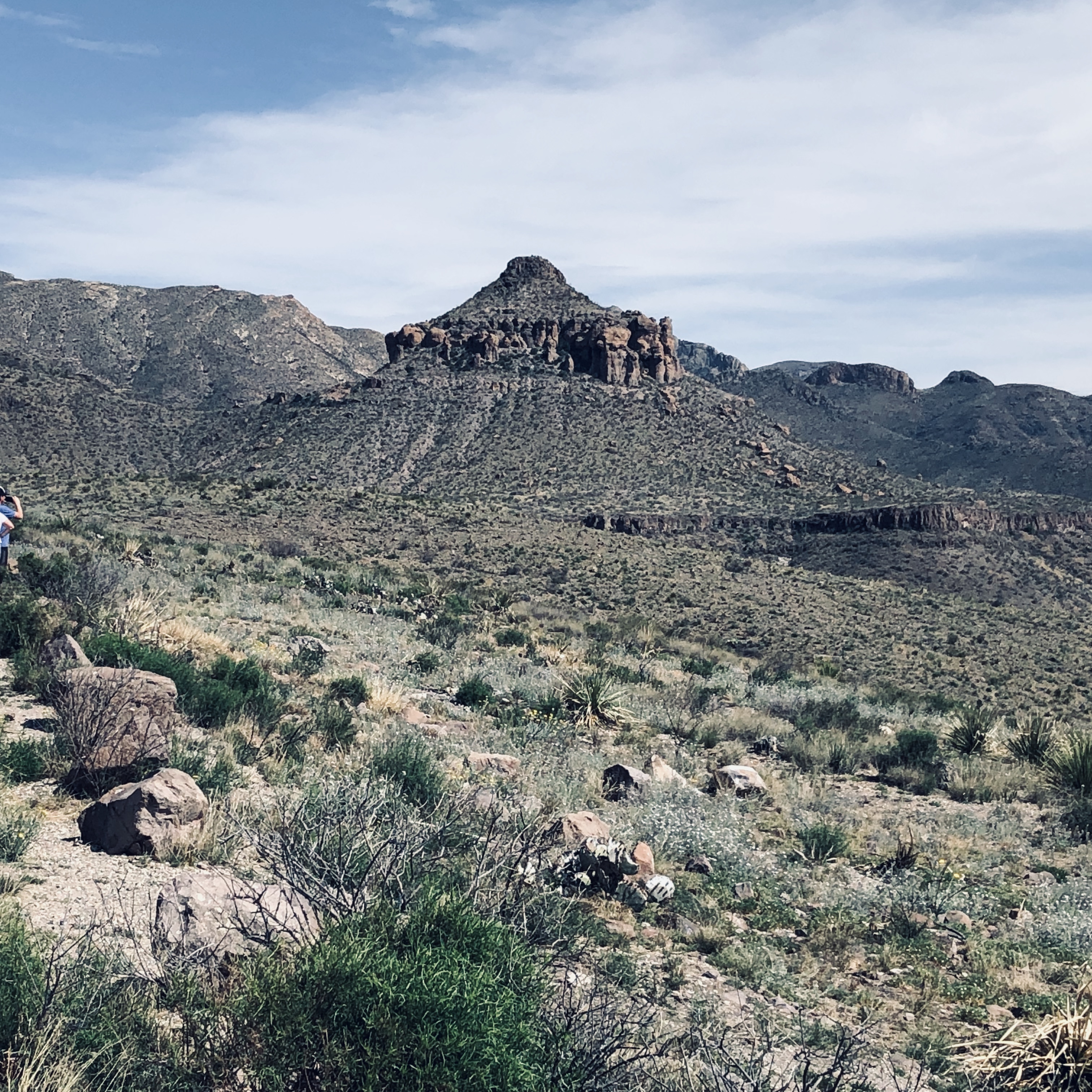 We spent two full days in